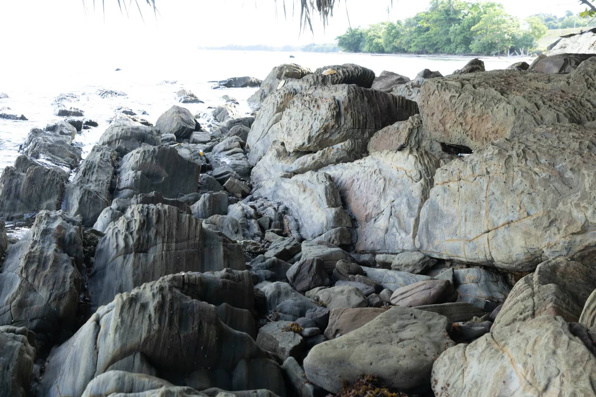
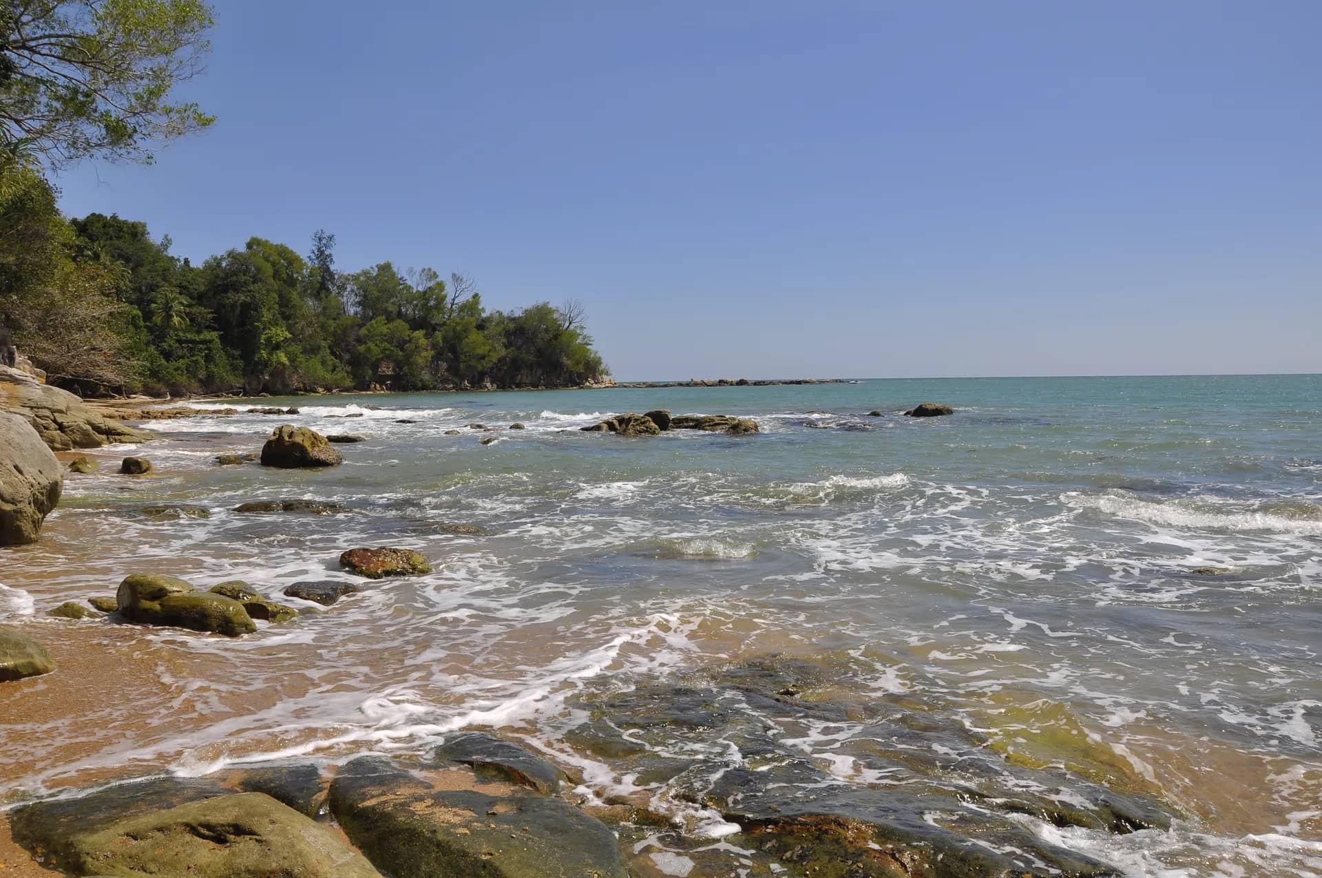
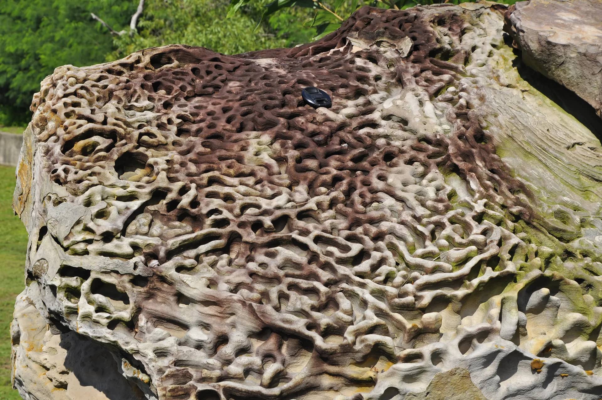
The uplift and tectonic processes that occurred from about 12 million to 3 million years ago gradually raised Labuan from the seabed, folding layers of sedimentary rock to form the island and its hills.
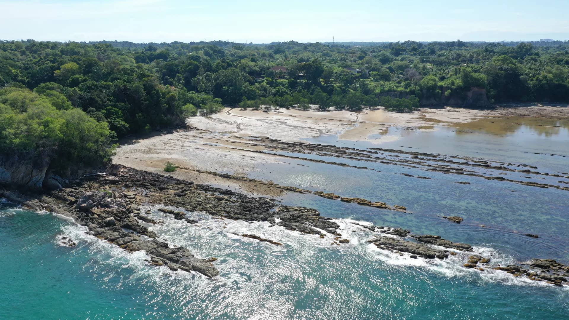
This geosite is the largest in Labuan, encompassing four main areas made up of elongated ridges or hills on the eastern and western parts of the island. These ridges represent the Temburong and Belait Formations, serving as clear evidence of the tectonic forces that once acted along an axis crossing the centre of Labuan.
On the western side, the ridges extend from the north at Tanjung Kubong through Bukit Merinding to Tanjung Layang-layangan. The second ridge begins in central Labuan, running through Kampung Bebuloh Darat and Bebuloh Laut to Tanjung Punei. On the eastern side of the island, there are two ridges located near Labuan Airport and Tanjung Batu.