G3
Geosite

Tanjung Layang-Layangan Cross-bedding

Exposing high-quality, fresh rock surfaces showcasing large-scale cross-bedding with embedded coal fragments, a unique feature not recorded elsewhere in Malaysia. Characterised by a broad tidal flat displaying current and wave ripple structures at low tide, with visible Belait Formation strata extending offshore toward Pulau Ular, and a natural sea arch sculpted by wave erosion.

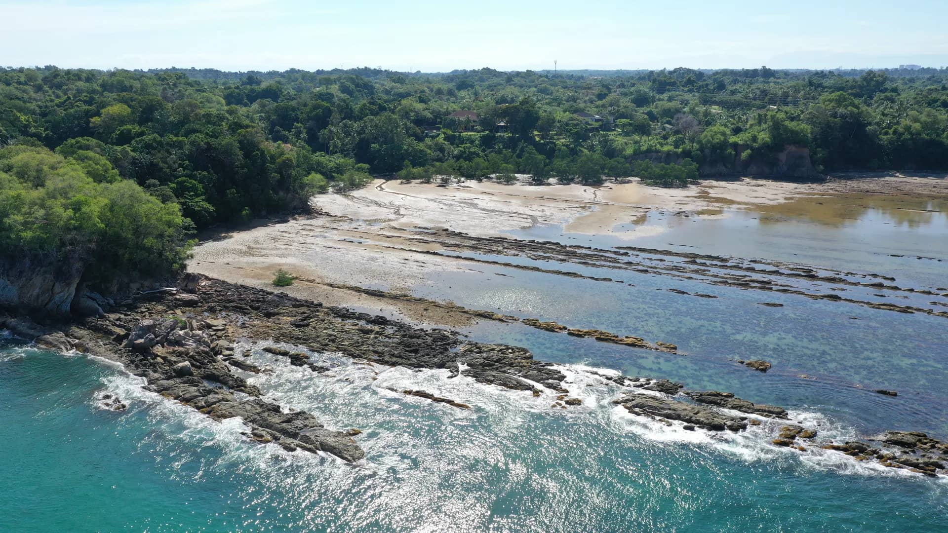
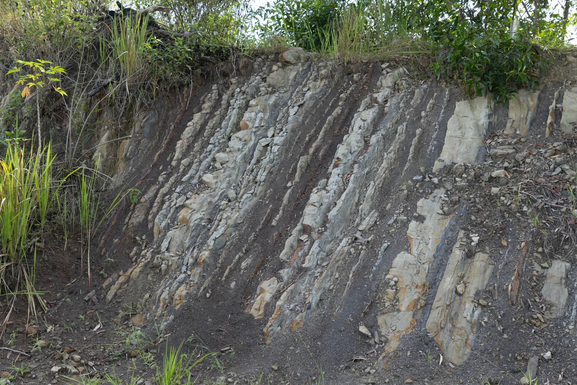
This site is rich in high-quality geological structures exposed on very fresh rock surfaces. The presence of mega-scale cross-bedding with coal-pebble layers is highly unique and not found elsewhere in Malaysia. The coastline is characterised by an extensive intertidal platform. At low tide, various current and wave ripple structures can be observed on the intertidal flat, along with exposures of the Belait Formation rock layers extending into the sea towards Pulau Ular, revealing distinctive layer orientations.

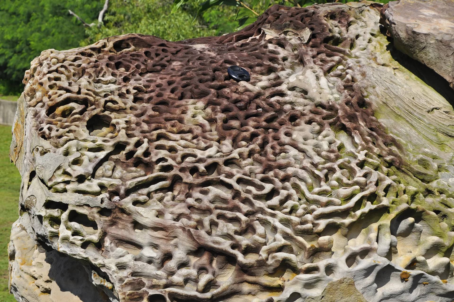
Formed by rocks of the Belait Formation dating back about 15-5 million years, the area consists of dark-coloured sandstone and mudstone layers deposited in deeper outer-shore settings in the past. This rocky coastal geosite also showcases a variety of geological features such as cross-bedded coal layers, load casts, ripple marks, ball structures, coal clasts, and the presence of the rare Epsomite salt mineral. Together with its unique sea arch, this diversity makes the geosite one of the most prominent in Labuan.

In addition, it features alternating muddy and sandy shores and lies close to the Pulau Ular Wildlife Sanctuary, a breeding ground for three species of terns: the Bridled Tern, Black-naped Tern, and Roseate Tern. This biological diversity further enhances the heritage value of the geosite.
OP1

Erosion Landscape of Tanjung Layang-Layangan Beach

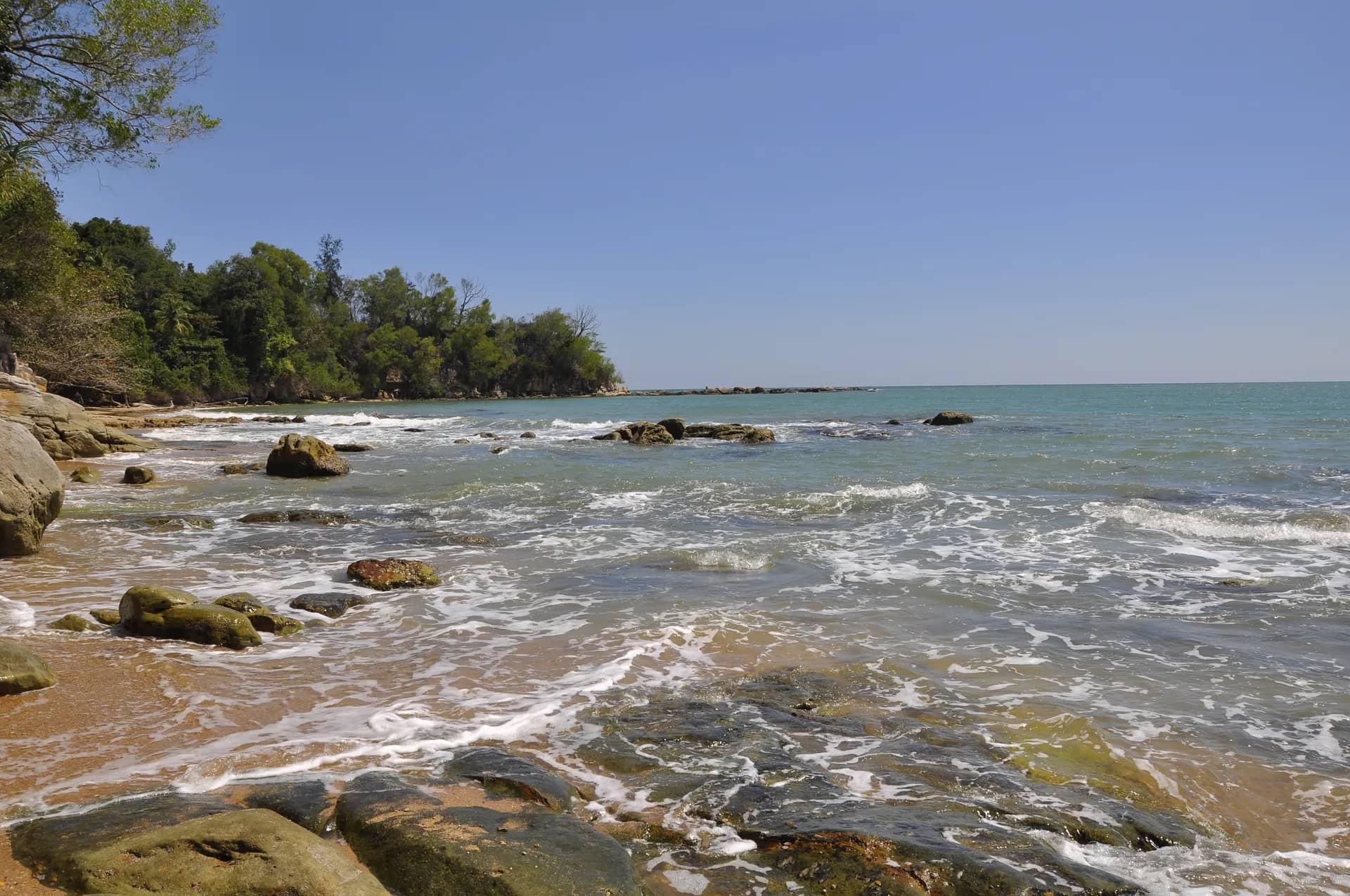
The rocky shore here displays a variety of morphologies created by wave erosion on near-vertical rock layers. Its broad wave-cut platform consists of rock layers extending from land to sea. Differences in weathering resistance cause some rock layers to remain exposed and well-preserved while others are eroded away, producing alternating sandstone layers clearly extending from the shore into the sea at low tide.

OP2

Tanjung Layang-Layangan Sea Arch

The sea arch was formed by continuous wave erosion. As waves erode a headland or rock mass, any fractures within it are more easily and rapidly eroded than intact rock because fractures are weaker zones. Persistent wave action widens the fracture openings, which over time develop into a large cavity as the rock collapses. The “roof” of the arch usually remains intact because it is not directly exposed to the waves.

360°

360° Virtual Tour

10 photos

Photo gallery