01

Labuan National Geopark

Where 300 million years of Earth’s story meets living island culture: rocky headlands, sea caves, coral reefs, mangroves and coal-mining heritage on one small island.

401.65km²
Total area incl. waters
94.52km²
Land area
81.7km
Coastline
25
Heritage sites
161
Coral species
300M+
Years of geology
01 General

Getting to know Labuan National Geopark

Area

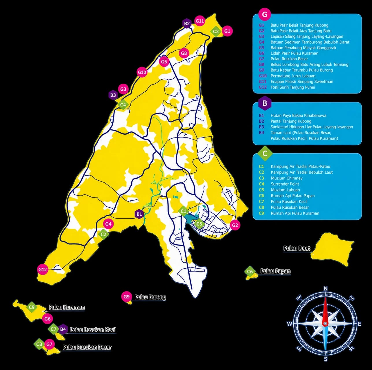
The total area of Labuan Geopark, which also serves as the administrative boundary of Labuan, covers approximately 401.65 km² (40,165 ha), including its territorial waters. The land area alone spans 94.52 km² (9,452 ha), with Pulau Labuan, the main island, accounting for 95.7% of the total land area.

Physical Geography

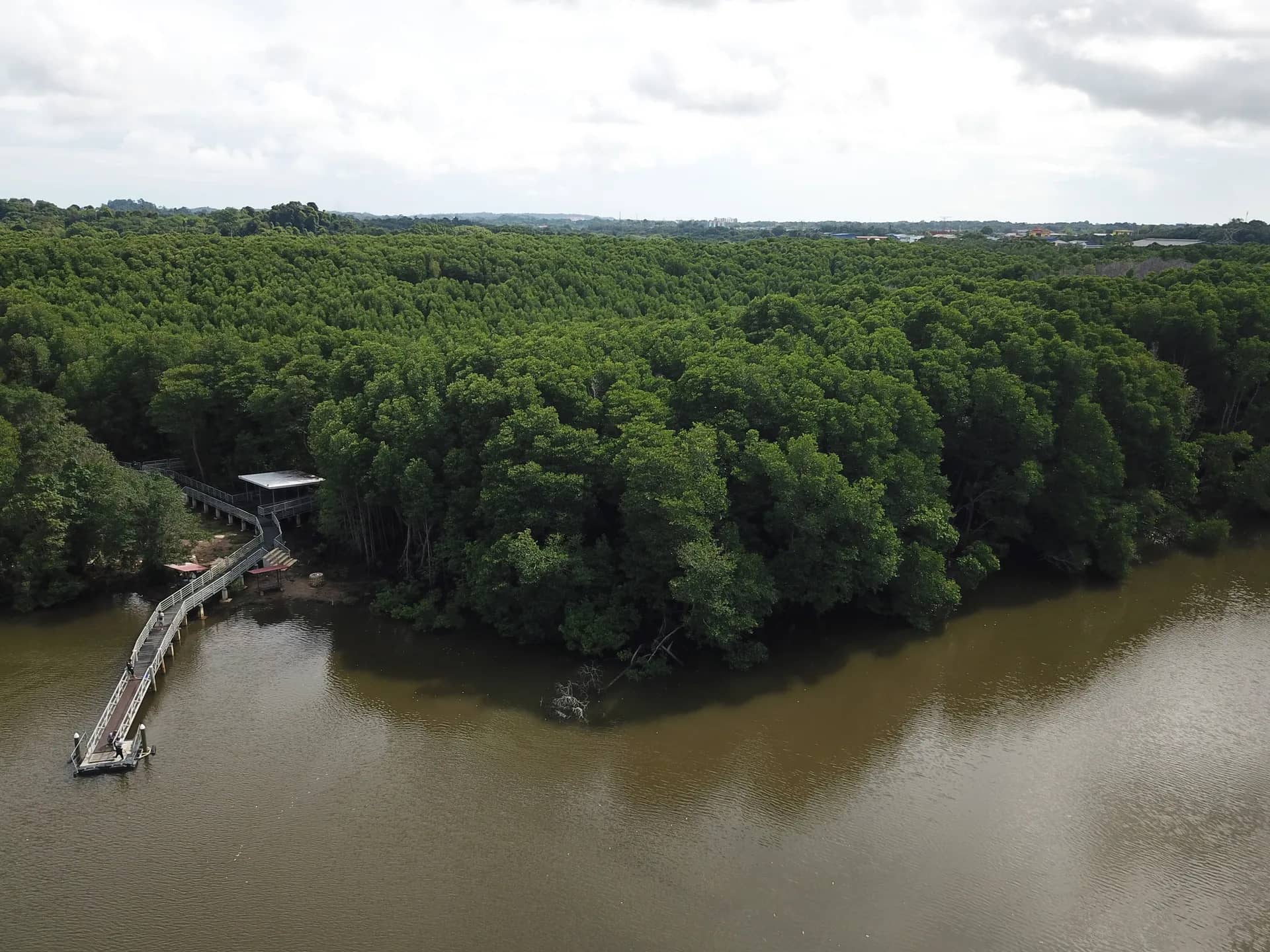
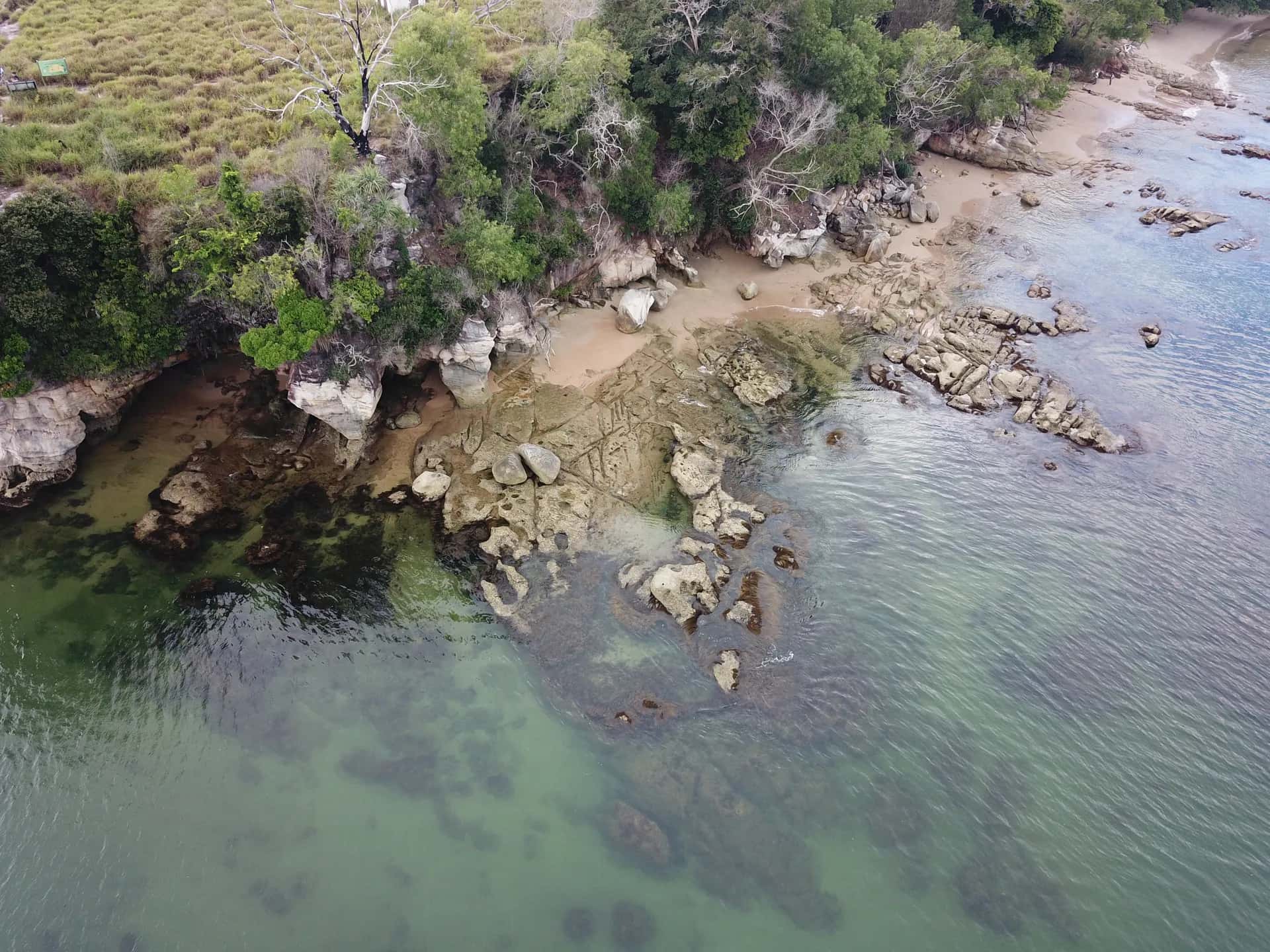
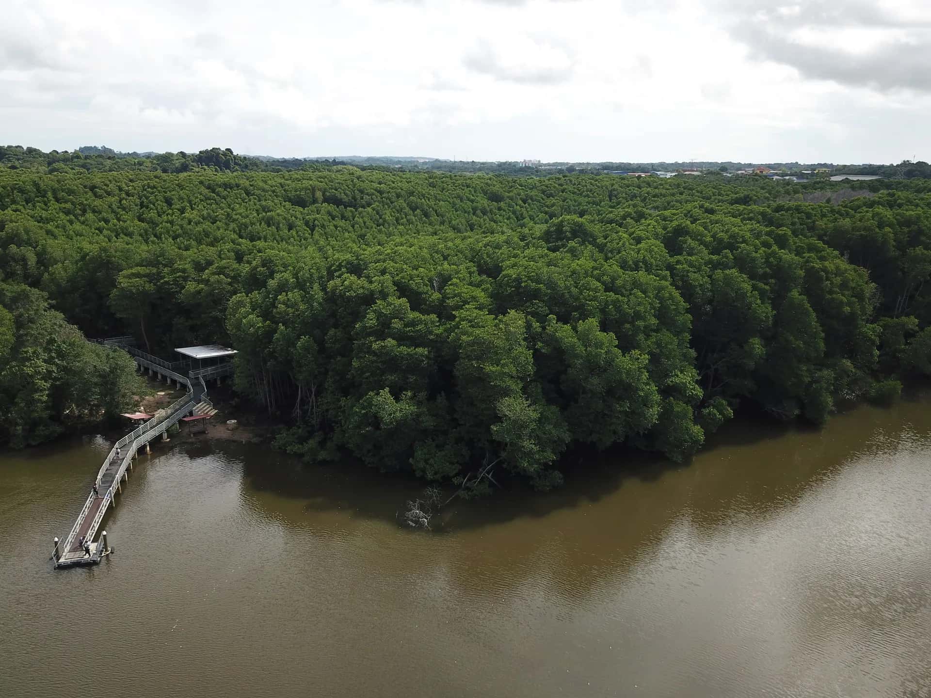
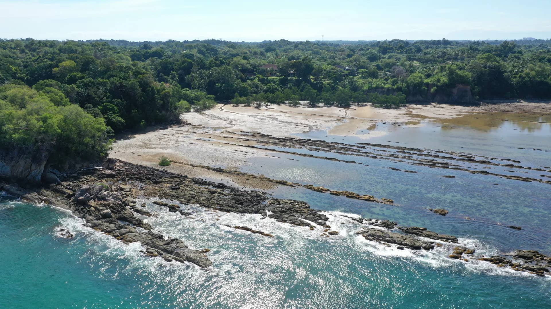
Labuan’s land area is characterized by coastal plains and low hills, with Bukit Merinding as the highest peak, reaching less than 200 meters in elevation. The terrain consists mainly of lowlands, supporting agriculture, settlements, and urban development. While much of the land has been utilized, three mangrove forests remain preserved: Kinabenua, Sungai Gersik, and Sungai Ganggarak.

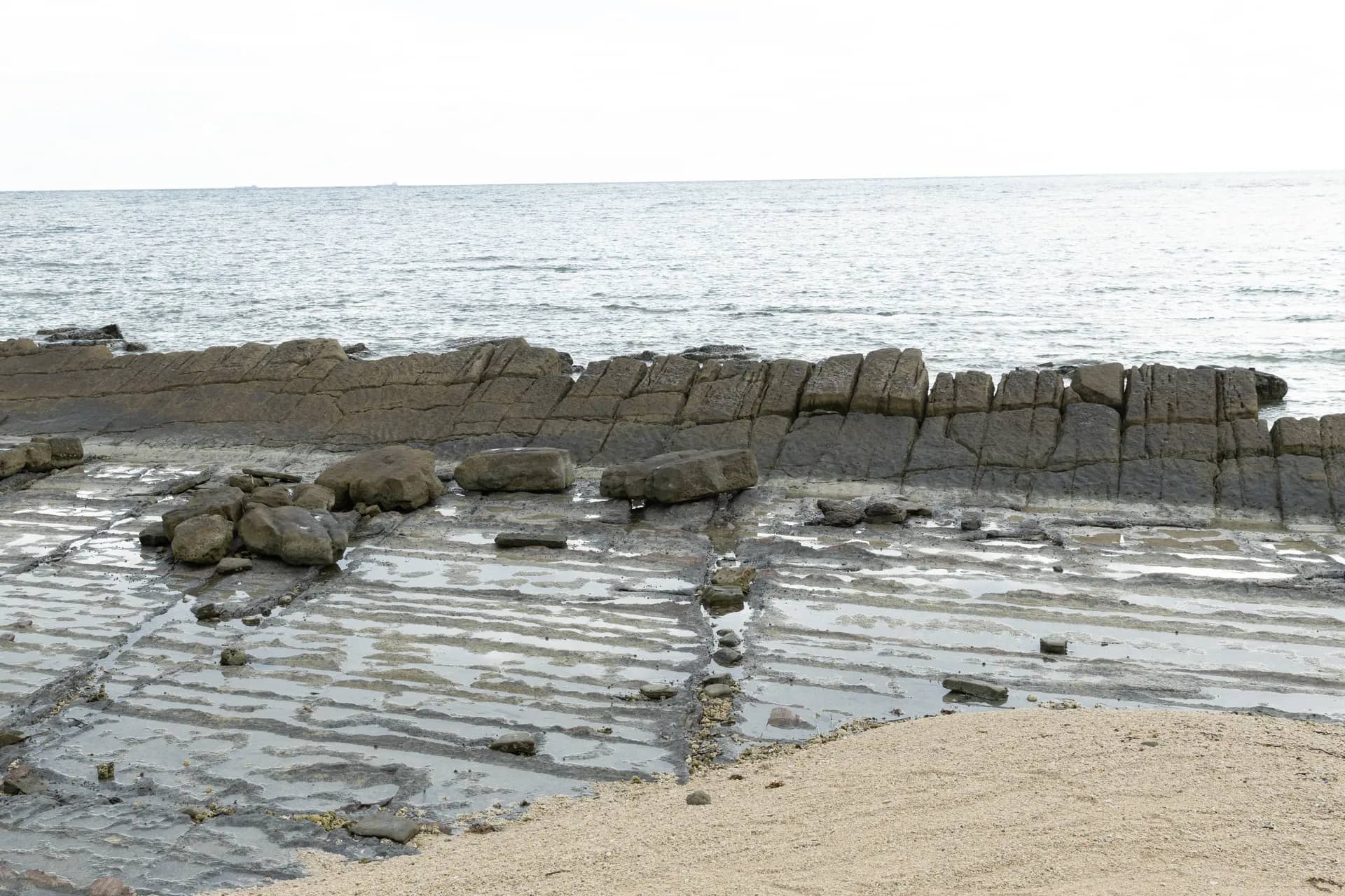
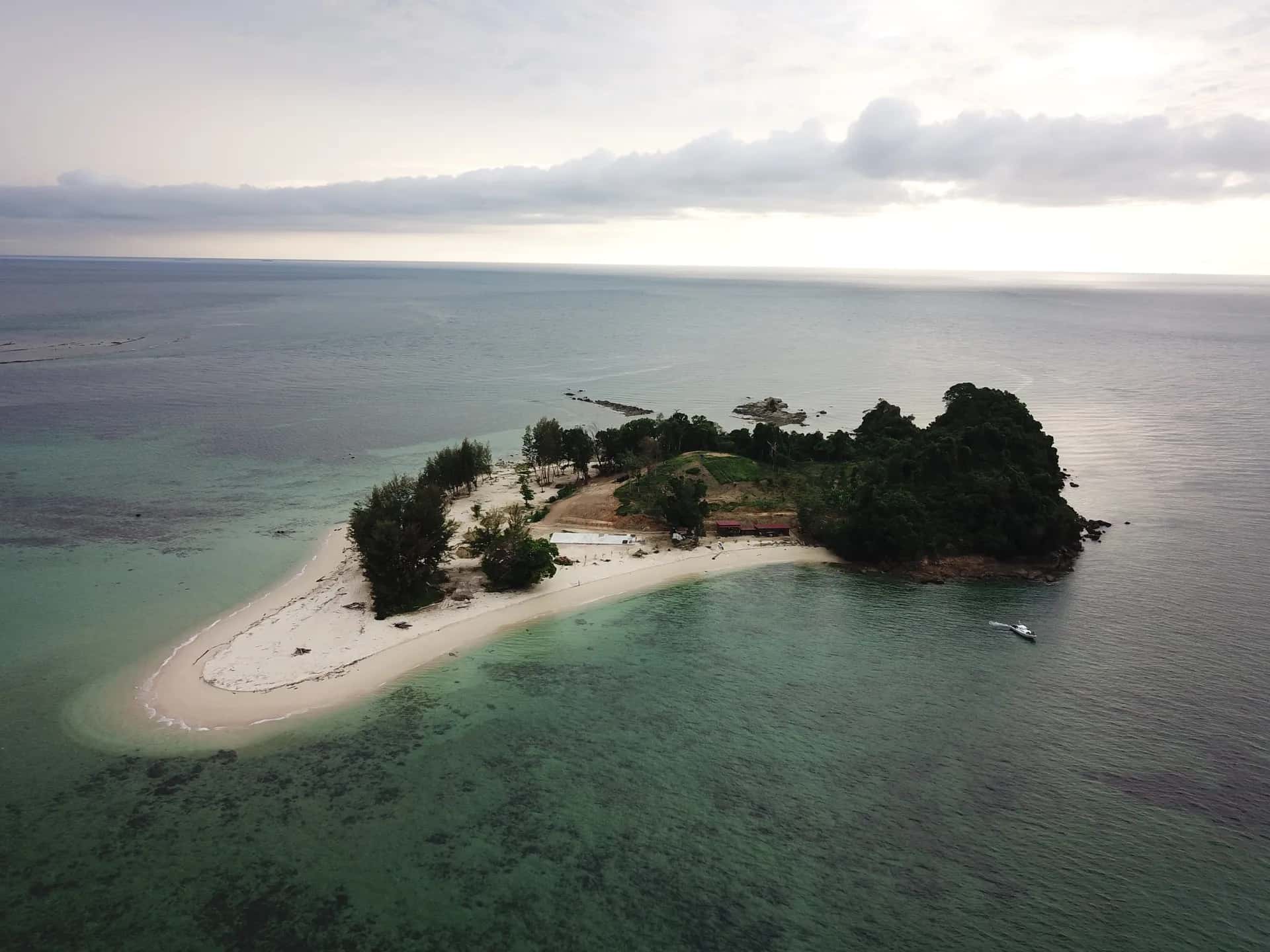
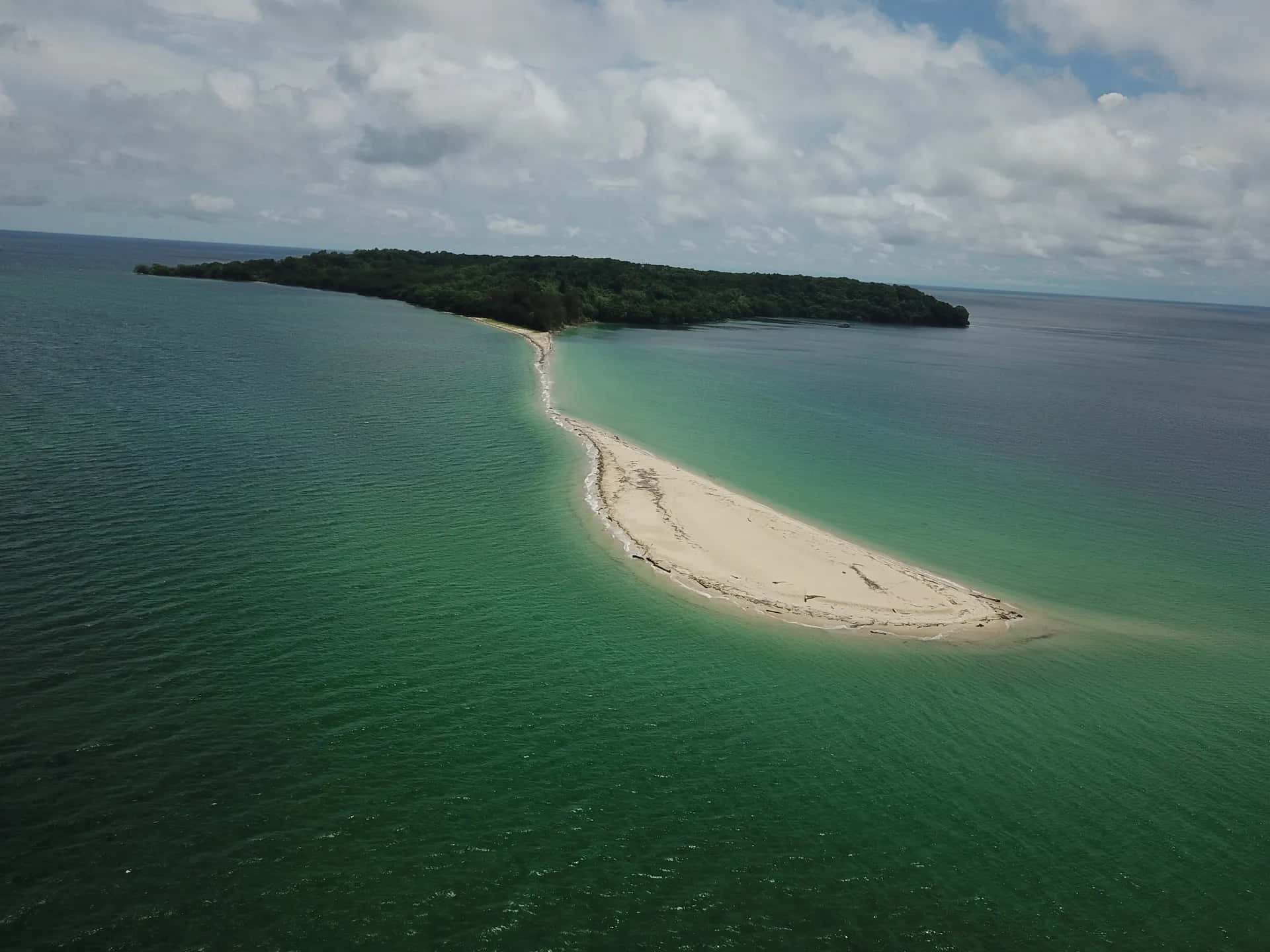
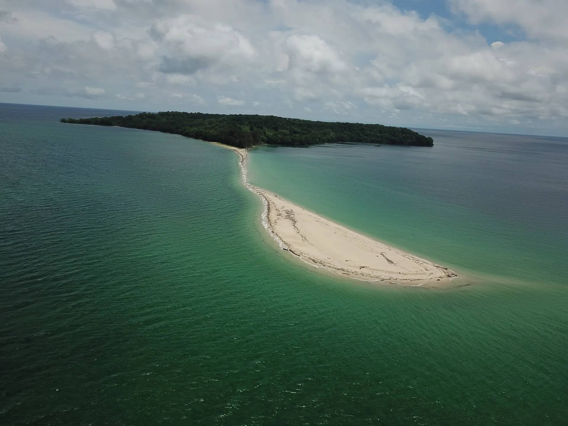
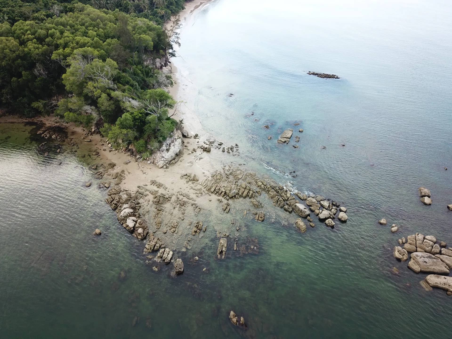
The coastline surrounding the Labuan archipelago spans 81.7 kilometers, forming some of Malaysia’s most scenic beaches. The coastal landscape is primarily rocky and sandy, with small sections of muddy shores near estuaries and mangrove areas.

Population

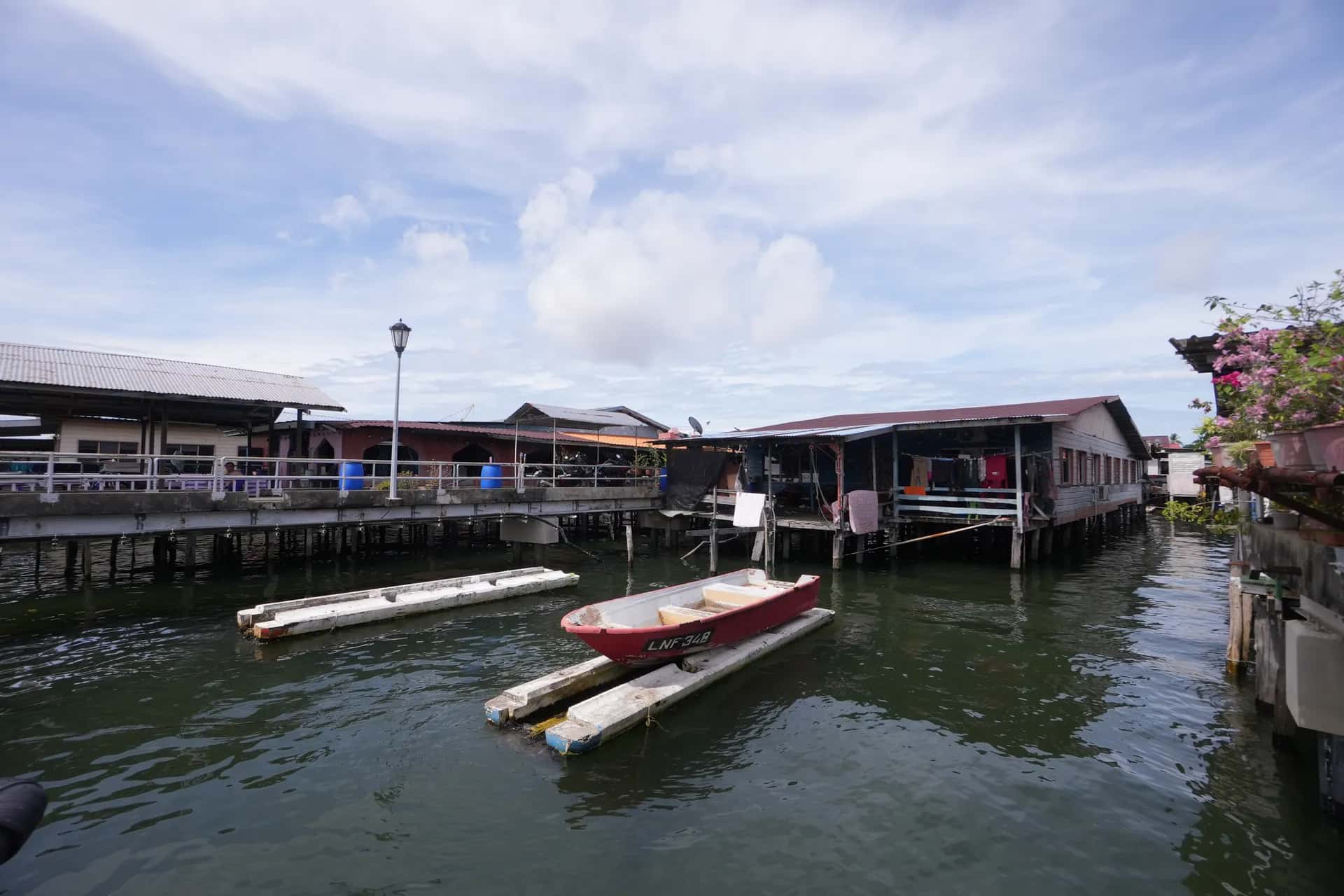
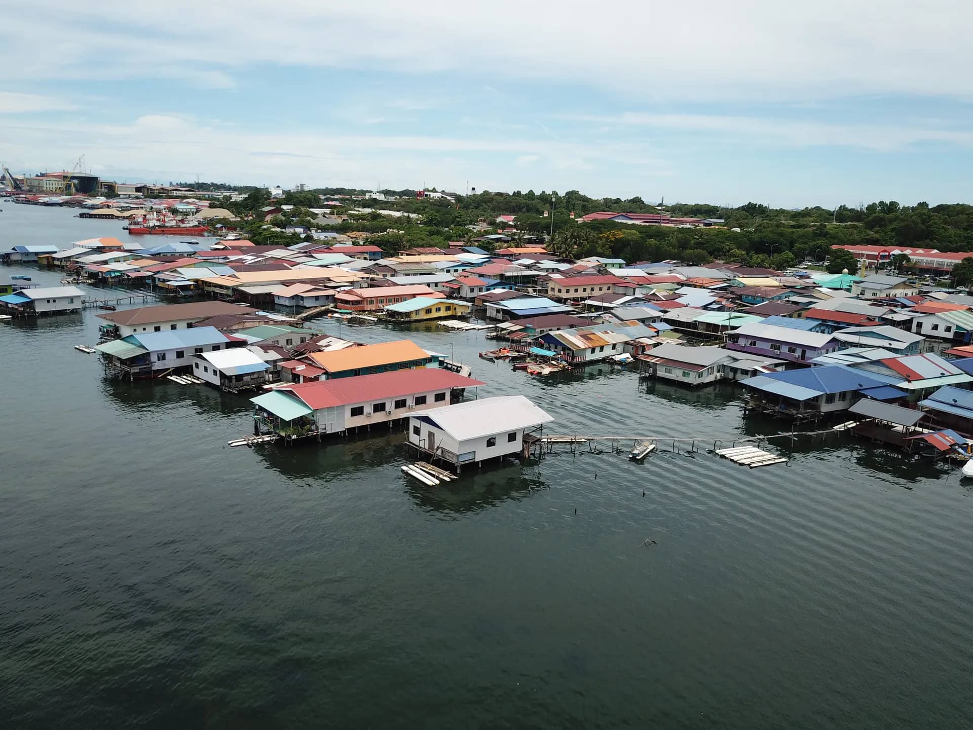
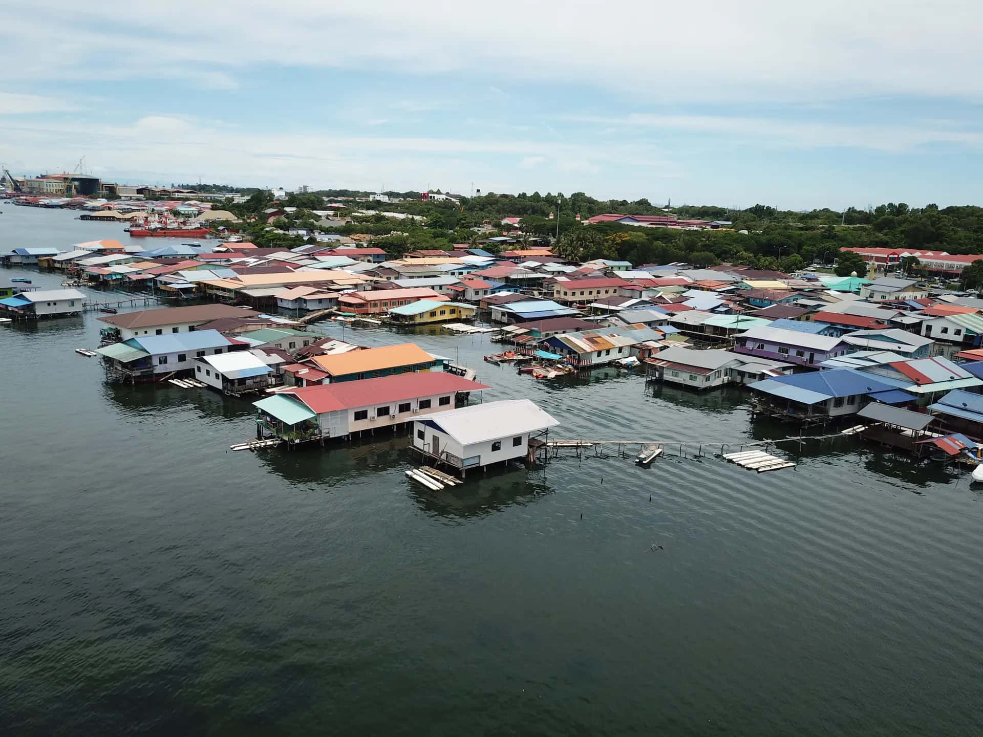
The total population of Labuan is approximately 100.4 thousand, with a population density of 1,091 people per square kilometer (Department of Statistics Malaysia, 2019). The population comprises Bumiputera communities (85%), Chinese (12.3%), Indian (0.9%), and other ethnic groups (1.8%), residing in 27 villages as well as the central urban area.

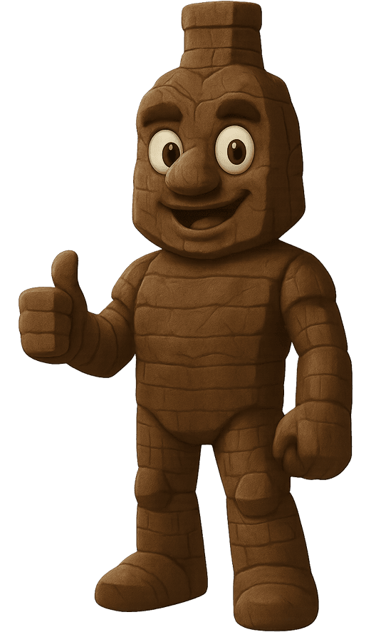
Our official Labuan National Geopark mascot!

Meet BatuMan

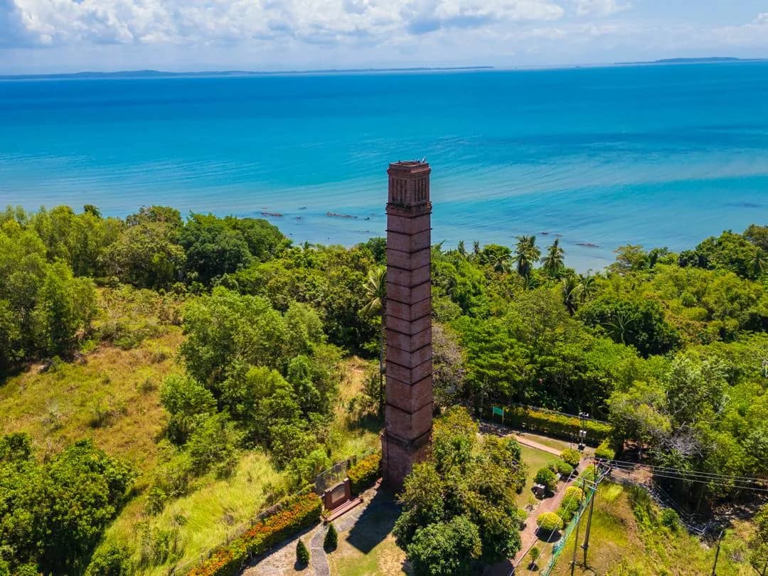
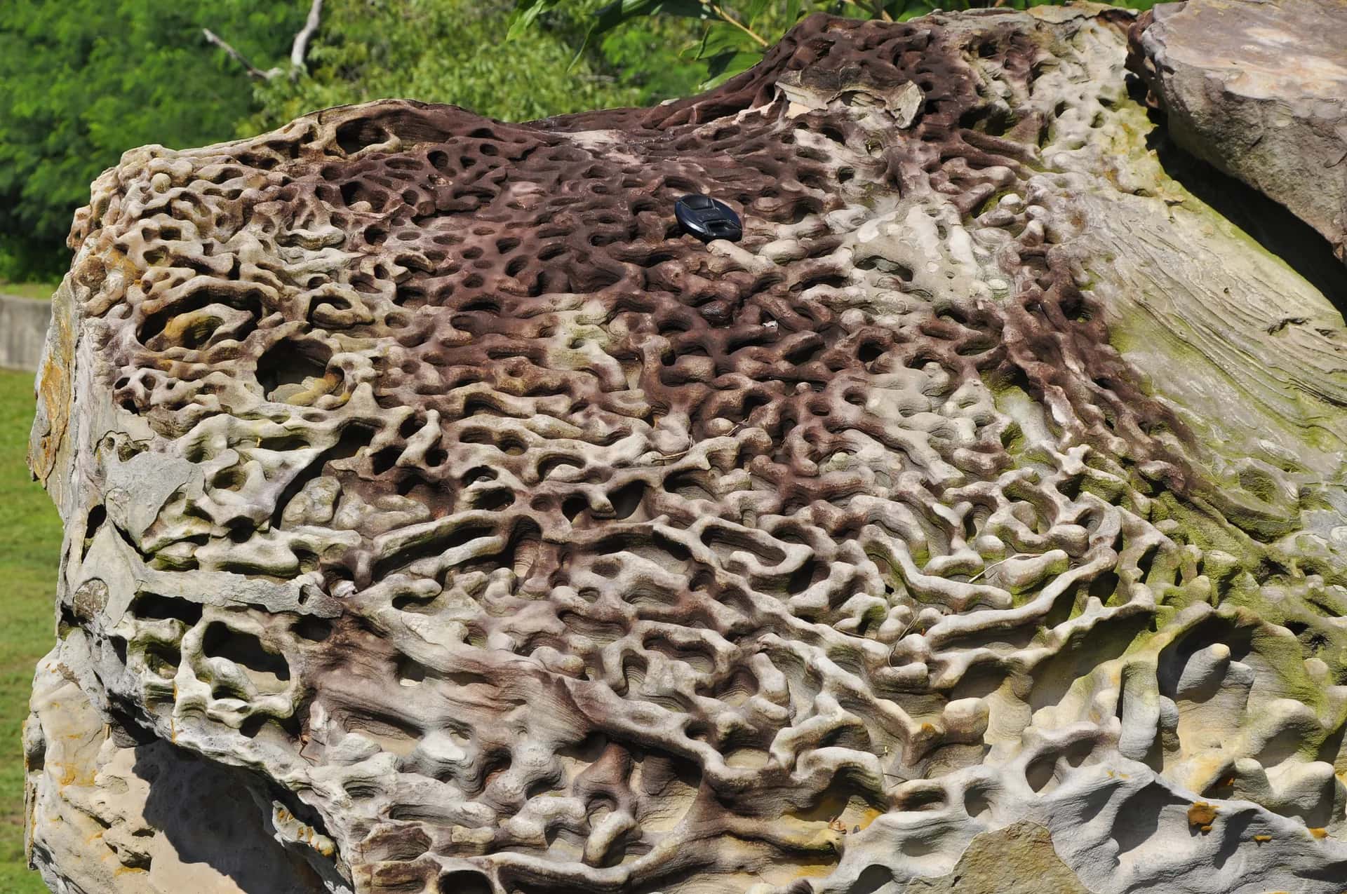
He is named after the ancient rock formations that define Labuan’s unique geological landscape, especially those found at iconic sites like the Chimney, Tanjung Kubong, and Pulau Papan. BatuMan represents the resilient spirit of stone, shaped over millions of years through volcanic activity, sedimentation, and tectonic shifts. His form is inspired by the striking coal seams, layered cliffs, and fossil-rich beds that tell the story of Labuan’s geological past, stretching as far back as the Tertiary period, around 23 to 66 million years ago. A true guardian of time, BatuMan invites explorers to uncover the natural wonders hidden within Labuan National Geopark’s land and sea!

BatuMan mascot
Explore

Popular sites to visit

04 / 08
360° Virtual Tour

Step inside the geosites

Explore five geosites in immersive 360° panoramas before you visit.

View site
Events

Calendar of Events

  • Sep2026Labuan Geopark Day
  • Sep27World Tourism Day
  • Oct6International Geodiversity Day
  • Dec2026Anniversary of Labuan Geopark’s National Geopark recognition
Open full calendar