Boundaries Map
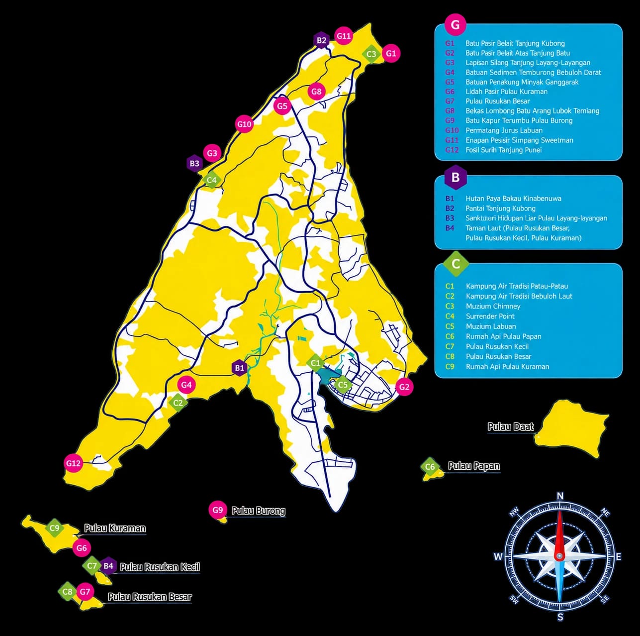
Labuan Geopark Boundaries Map
An essential guide for visitors, researchers, and conservationists alike, this map outlines the official boundaries of Labuan Geopark, encompassing both land and marine areas rich in geological, ecological, and cultural heritage. The geopark spans 401.65 km², covering Labuan Island and its six surrounding islets, each contributing to the area's diverse natural wonders.
Labuan Geopark
Gateway to Natural Wonders
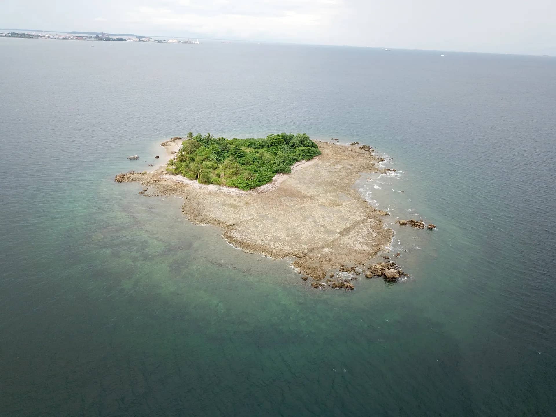
A spectacular blend of rocky cliffs, sandy beaches, mangroves, coral reefs, and ancient fossils, Labuan Geopark reveals Earth’s history shaped over 300 million years.
Geosites (G1-G12)
Biosites (B1-B4)
Cultural sites (C1-C9)